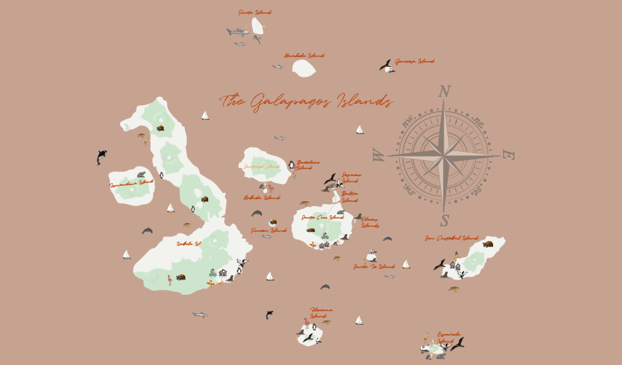
Map of The Galapagos
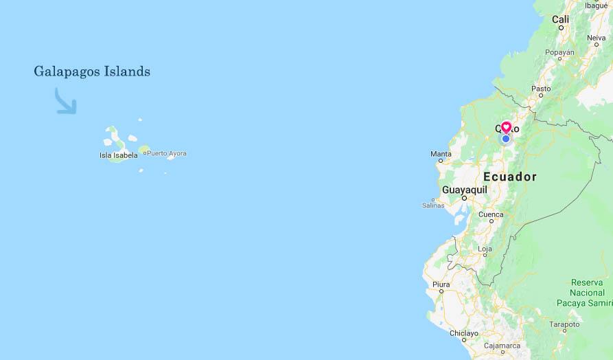
In this Galapagos islands map you can see the location of the islands in relation to the mainland, 600 miles off the coast of Ecuador in the Pacific ocean lay the Galapagos, a group of volcanic islands raising from the bottom of the ocean, the official name of this group of islands is the Columbus archipelago, early navigators also called them the enchanted islands ,due to the changing weather and sometimes fog and marine currents gave them the impression that the islands would move so they though they were cursed, up until this day they are also know with that name. Because of their strategic location almost perfectly on the equator the favorable marine currents that com from north and south of the American continent, promoted the arrival of many species from the continent , and because of their isolation , weather and different conditions, the animal that arrived here ,and of course, the ones that survived went through changes that allowed them to survive in such inhospitable place. When Charles Darwin arrived here , noticed those changes and this helped him understand how the species that are most adaptable to change ,are the ones that survive, what we nowadays know as evolution.
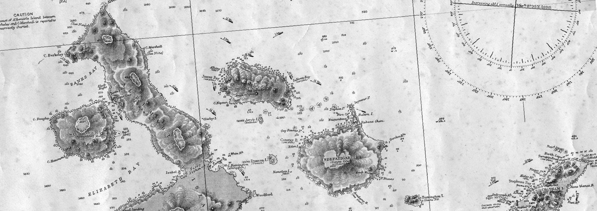
Although many people visited the Galapagos or fund them by accident , we do not know exactly until they were officially discovered , or the finding was announced in 1535, it was not until 1574 that the Galapagos islands officially appeared in a map buy the flemish cartographer Abraham Ortelius.
CONTACT US